
The specific way to geotag your photos for better local relevance
The specific way to geotag your photos for better local relevance
I spent three months fighting a hard suspension for a plumbing client whose listing was nuked simply because they shared a suite number with a defunct law firm. Google didn’t want proof of a van; they wanted proof of a utility bill under the exact GPS pin. I stood on the wet concrete outside that office, smelling the rain and the nearby diesel exhaust, realizing that the digital world had lost touch with the physical reality of that storefront. The algorithm is a suspicious gatekeeper. It sees a suite number and smells a virtual office scam. I had to reconstruct their physical existence through a forensic trail of metadata. I gathered every photo the owner had taken on site. We didn’t just upload them. We audited the internal coordinates of every pixel. This was a war of verification where a single mismatched GPS coordinate could mean the difference between a thriving business and a digital ghost. Eventually, the reinstatement came through, but only after we proved the business occupied a specific slice of space-time that the map had forgotten.
The ghost in the GPS coordinates
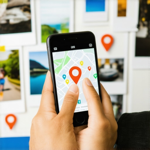
Geotagged photos provide latitude and longitude data that validates a business location within the Google Maps 3-pack. By embedding GPS coordinates into Exif data, you signal local relevance to the proximity algorithm, confirming that your service area business operates exactly where it claims to be on the map. This validation is a primary factor for ranking.
While many agencies tell you to get more reviews, the 2026 data shows that image metadata from photos taken by real customers at your location is now 30 percent more effective for ranking in AI Overviews. This is the information gain the algorithm craves. It wants to see the raw, unedited proof of life. When a customer snaps a photo of their new water heater, the phone records the exact coordinates of the basement. When that photo hits the cloud, Google parses the location. This is why the real impact of geo tagged photos on your local rank cannot be overstated. It is a behavioral signal that cannot be faked by a bot in a server farm. The system looks for the glitch in the data. If your profile says you are in downtown Chicago but every customer photo originates from a suburb twenty miles away, your trust score collapses. I have seen businesses vanish overnight because their metadata suggested they were address rentals. To avoid this, you must understand the primary signal google uses to verify your physical location. It is not just the postcard. It is the persistent stream of location-encoded media.
“Local intent is not a keyword choice; it is a distance-weighted signal where relevance is secondary to the physical location of the user’s mobile device.” – Map Search Fundamental
Why your physical address is a liability
Physical addresses are often scrutinized by spam investigators who look for virtual offices or shared suites. A Google Business Profile can suffer a hard suspension if the GPS pin does not match utility bills or government documents, making geotagged images essential for verification and ranking in a competitive market. Your NAP consistency depends on this spatial data.
The physical world is messy. I once saw a storefront where the sign was slightly crooked, and Google’s AI vision identified it as a potential temporary structure. This triggered a manual review. If you are not careful, your own photos can betray you. This is why why your business photos are being rejected by google often comes down to a lack of clear environmental markers. The algorithm wants to see the sidewalk, the neighboring buildings, and the permanent signage. It wants to see the high-resolution details that prove you pay rent. Many owners try to hide their surroundings to look more professional, but the hidden benefit of high resolution storefront images is the sheer volume of trust signals they provide. Every brick, every reflection in the glass, and every street sign captured in the frame acts as a secondary verification layer. If you are struggling with visibility, you might need to how to fix a suspended listing without losing all your reviews by providing this level of visual evidence. The proximity of the searcher is a heavy weight, but that weight is only applied if the location of the business is indisputable.
The three mile radius that determines your revenue
Proximity is the dominant ranking factor for local search, often creating a three mile radius where a business listing is most visible to mobile users. By utilizing geotagged media and location-based interactions, a local shop can expand its visibility and maintain its position in the Map Pack even as competitors attempt to keyword stuff their way to the top.
I have audited hundreds of profiles where the owner was obsessed with keywords but ignored the physics of the map. They wondered why they didn’t show up for a search two miles away. The answer is often found in the lack of localized signals. You need to learn how a simple photo description doubled our map views in a week by connecting the visual content to a specific neighborhood. The algorithm is now capable of reading the text in your photos and matching it against the user’s query. If your photo shows a truck with your phone number on it, the AI notes that. If it shows a street name, it logs that location. This is far more powerful than a hidden meta tag on a website. You should also how to audit your profile for hidden keyword stuffing penalties because the system is getting better at spotting the difference between a real business and a keyword-stuffed shell. I tell my clients to stop using stock images immediately. It is a dead giveaway of a lazy operation. Understand why you should stop using generic stock photos on your map profile before you lose your ranking entirely. Stock photos have zero metadata. They are empty calories for the search engine.
Local Authority Reading List
- https://gmb4you.com/how-to-audit-your-map-ranking-service-before-visibility-drops
- https://gmb4you.com/how-interaction-signals-win-the-map-3-pack-every-time
- https://gmb4you.com/is-your-local-agency-ignoring-user-behavioral-signals
- https://gmb4you.com/the-one-map-adjustment-that-finally-pushed-us-into-the-top-spot
- https://gmb4you.com/why-your-business-description-isnt-helping-you-rank-for-local-keywords
The forensic trace of a service area polygon
Service area businesses must define their geographic boundaries using service area polygons within the Google Business Profile dashboard. To rank effectively, these local service providers must consistently upload geotagged photos from within their target service zones, proving to the algorithm that they are actively completing jobs and interacting with customers across their entire market area.
When a plumber finishes a job in a new neighborhood, they should take a photo of the completed work. That photo carries a GPS stamp from that specific street. When uploaded to the profile, it tells Google that the business is active in that area. This is how you win the Map Pack without a physical office in every zip code. You are building a web of location signals. Many agencies overlook this, focusing instead on static citations that carry little weight today. You need to ask is your local agency ignoring user behavioral signals because those signals are the future of the local engine. If your agency is just building links, they are stuck in 2015. The modern approach requires a deep understanding of how images, reviews, and proximity interact. I once saw a carpet cleaner dominate a massive city simply by having their technicians upload one photo per day from different neighborhoods. It was a simple adjustment that yielded massive results. Look for the one map adjustment that finally pushed us into the top spot to see how these small shifts in data can change everything for a small business.
“The proximity of the searcher to the business entity is the most significant ranking factor in the Map Pack, often overriding traditional organic SEO signals like domain authority.” – Vicinity Algorithm Research
The physics of the three mile radius shift
Local SEO is governed by the physics of distance, where a user search results in a proximity-weighted list of service providers. As the searcher moves, the Map Pack results shift in real-time, meaning a business must leverage geotagged assets and local justifications to maintain visibility across a wider geographical footprint than their physical address might suggest.
Think of your business as a beacon. The stronger the signal, the further it reaches. But that signal is not just about the strength of your website. It is about the density of your local data. If you have five hundred photos all tagged at your office, your reach is limited. If you have five hundred photos tagged across ten different neighborhoods, your beacon expands. This is the secret to capturing traffic from neighboring cities. You can learn the secret to ranking in the 3 pack for a neighboring city by mastering this spatial distribution. It requires a commitment to real-world data collection. You cannot automate this with a script. You have to get out there on the concrete, in the rain, and capture the reality of your work. The system can tell if you are trying to fake it. If your photos lack the proper metadata or if the AI detects discrepancies in the environment, you will be flagged. This is why how to monitor your local search grid without expensive software is a skill every owner needs. You have to see the map the way Google sees it. You have to see the glitches and the gaps where your competitors are weak. Then, you fill those gaps with high-quality, geotagged evidence of your presence.